The role of housing in shaping urban space is extremely important. For that matter, I re-read an important book on the subject and jotted down some notes for myself after the jump.
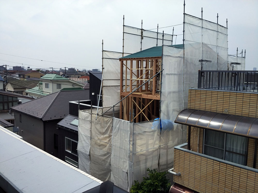
Scrap and build, Nakano-ku
This is where I think in public — about urbanism, political economy, and often just the view from wherever I happen to be standing. New here? The reading guides below are the best way in. Otherwise, scroll down for the latest blog posts.
Latest posts
The role of housing in shaping urban space is extremely important. For that matter, I re-read an important book on the subject and jotted down some notes for myself after the jump.
Scrap and build, Nakano-ku
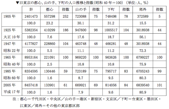
What happens to urban equity when a city grows extremely fast? Next up in the urban inequality series is a post on Tokyo’s historical housing inequalities that aims to shed some light at the following questions: Over time, how much living space did the average inhabitant of Japan/Tokyo have and what was the corresponding homeownership ratio? Were there big differences between the 23 wards?
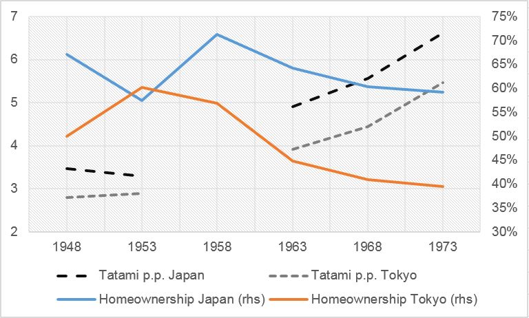
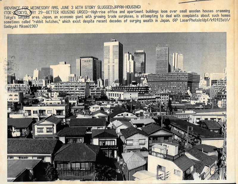
Some contours of housing in Tokyo vs. Japan, source
Below see some interesting tables I have found in a recent research report and of which I want a record, and why not on this blog? They are about Tokyo’s population distribution in and outside of the 23 wards. Nothing earth-shattering, but some ideas on how to present data at the very least. An interesting graph on land price increases concludes this post.
We spent some days in Hong Kong recently. The city is certainly as photogenic as one would expect. Below some impressions taken with my phone camera.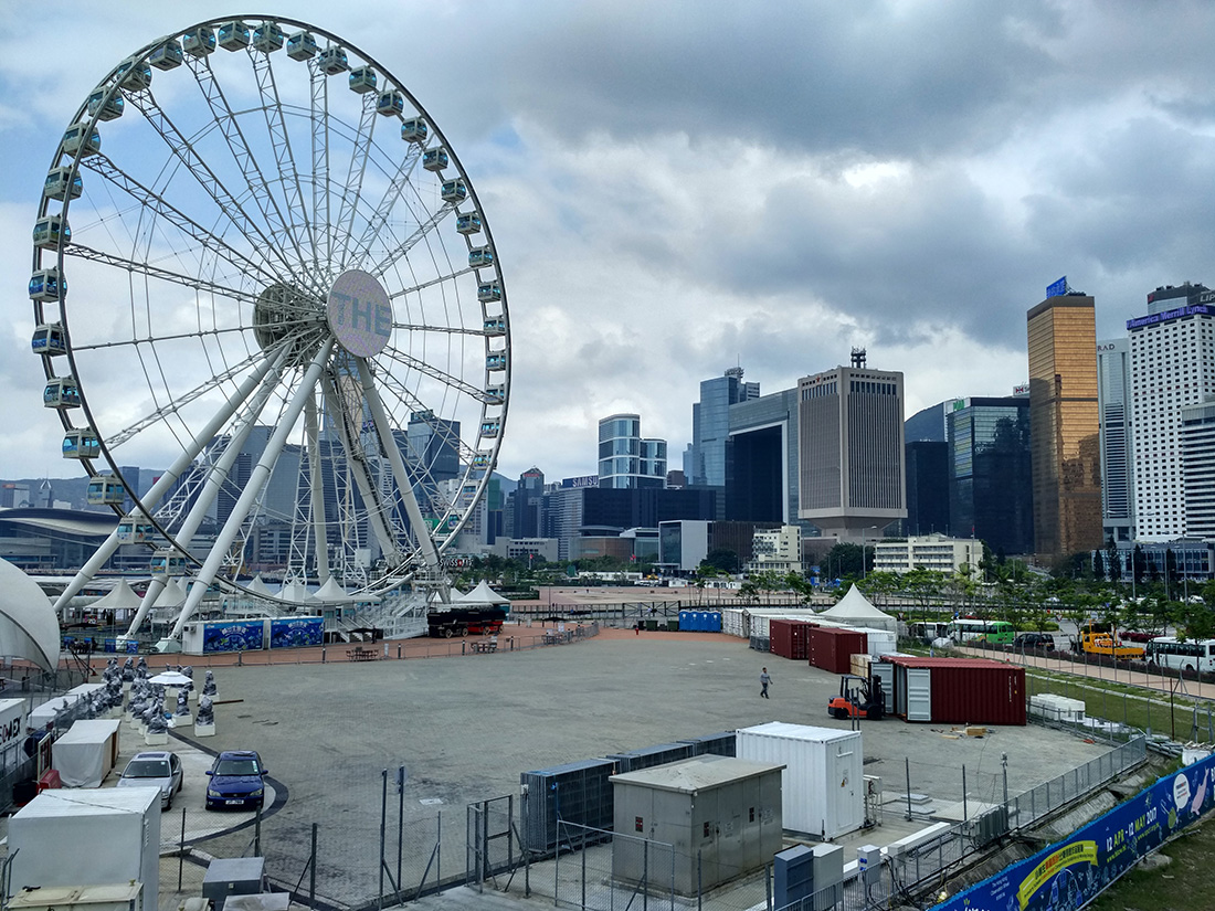
A panorama shot from Star Ferry Pier, with People’s Liberation Army Building in centre-right
Tokyo’s skyline is set to see 45 new skyscrapers by the 2020 Olympics, Bloomberg reports. Such heightened construction activity is seen as evidence of 1) the effectiveness of Abenomics, 2) building regulations that encourage new construction and 3) a generally competitive rental market that leads to lower rents. How much truth is there in this?
Thirty years and nothing changed?
A small but insightful exhibition currently on show at the Toto Gallery Ma introduced me to the works of the Japanese architect Shigeru Ban. His innovative use of wood and paper as well as his humanitarian engagement make his works accessible to a much wider audience than just architects.
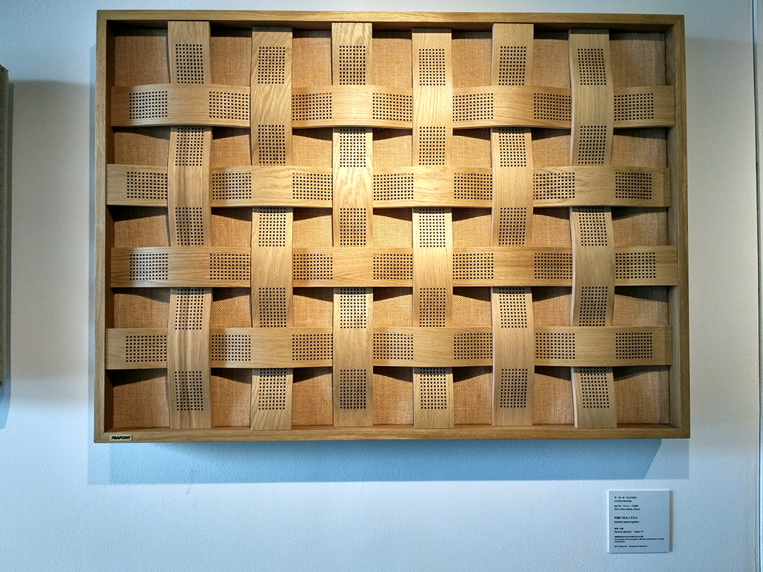
Shigeru Ban – interior panel of La Seine Musicale
What follows is the first post in a series on manifestations of inequality in postwar Tokyo. In these, I plan to cover living conditions and income inequalities across the different wards, at different points in time. Before going into the data that I collected over the past couple of days (and continue to collect), however, a few general words on inequality in Japan.

Income inequality trends, as per Iyoda Mitsuhiko (1991)
I have been meaning to stay on top of developments in the EU regarding paid-for investment research. It looks as if Sam and I could have had an easier time winning clients with new legislation kicking in soon.
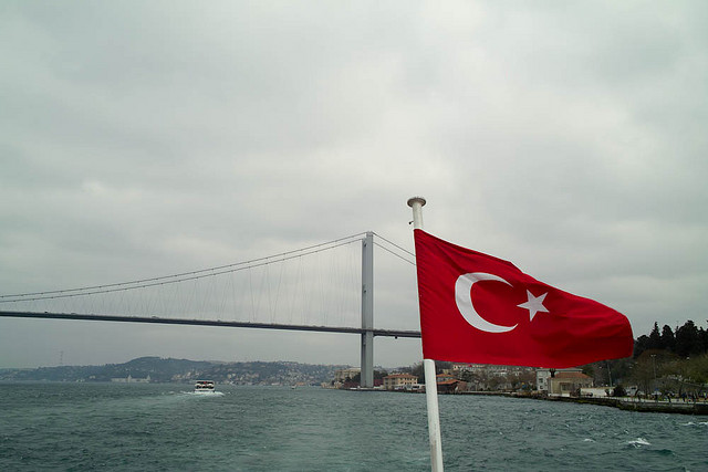
On the Bosporus, Istanbul, Turkey
A great review of our Yangon Architectural Guide has been published on Tea Circle Oxford, a forum for new perspectives on Myanmar. It was written by Dr. Reshmi Banerjee, a political scientist currently visiting Oxford University.

We took the Toden Arakawa line this weekend. It is Tokyo’s last remaining tram car service, connecting Waseda with Minowabashi in Arakawa-ku. A few pictures after the jump.
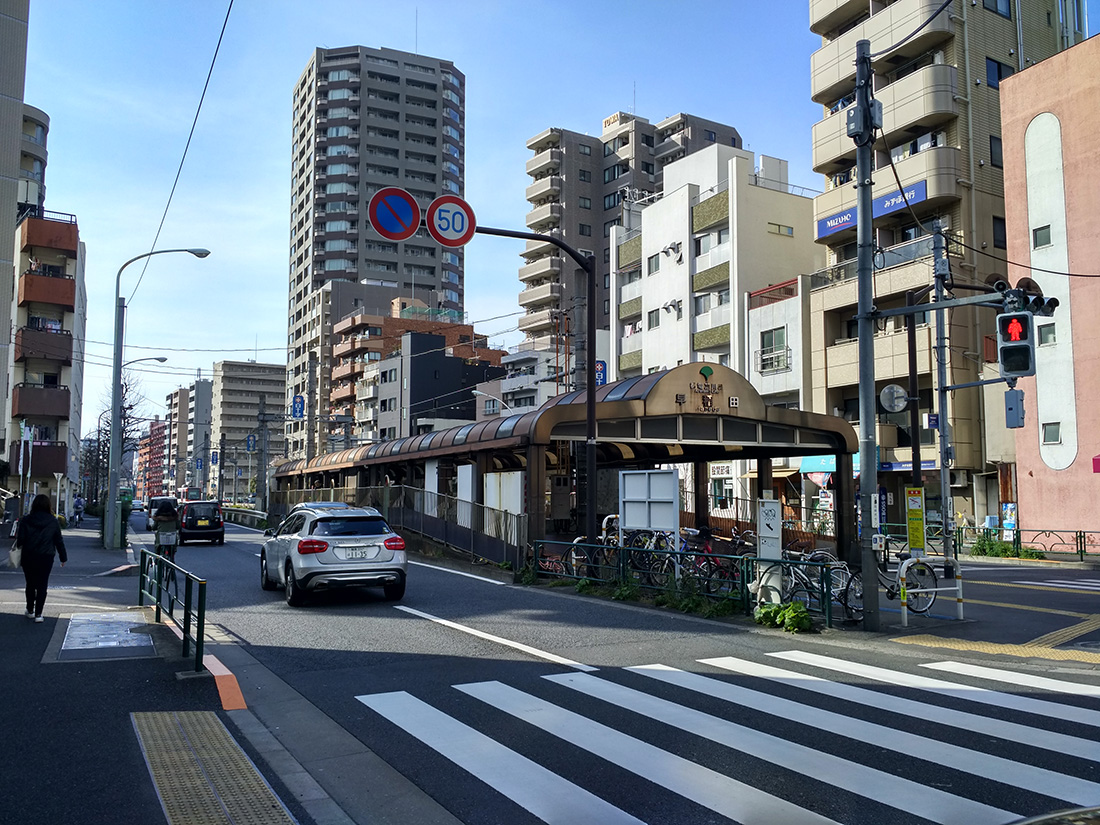
Getting on the tram at Waseda