Just how does space influence economic outcomes, and vice versa? A good example of how causality can run both ways comes from the realm of economic inequalities.
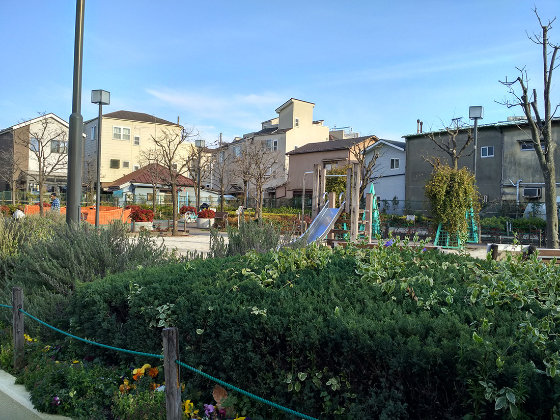
A former substandard housing district long turned into a public park in Arakawa-ku
Just how does space influence economic outcomes, and vice versa? A good example of how causality can run both ways comes from the realm of economic inequalities.
A former substandard housing district long turned into a public park in Arakawa-ku
This interesting paper was published in Comprehensive Urban Study (sogo toshi kenkyuu) in 1978. Its two parts (one written in 1972 and the other in 1977) talk about the recent expansion of Tokyo, specifically to do with its increasing suburbanisation. It features some great maps of which I feature some in this post.
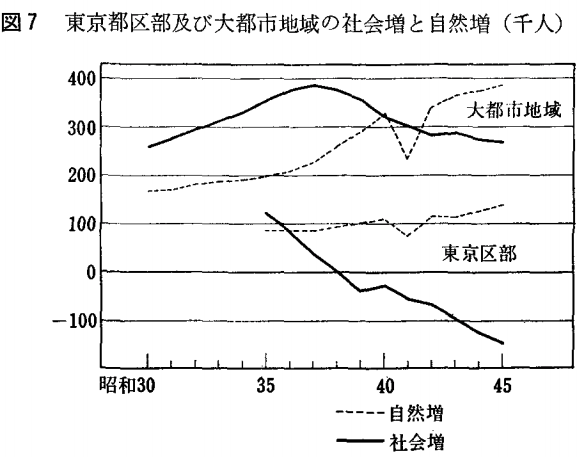
Decomposing the population change in the Tokyo Metropolis between 23 wards and the rest as well as natural and social increase/decrease
I want to use this blog as a notepad for the most important papers that I come across during my PhD work. One of them looks at the causal relationships between urbanization and economic growth.

Kuala Lumpur from above Continue reading
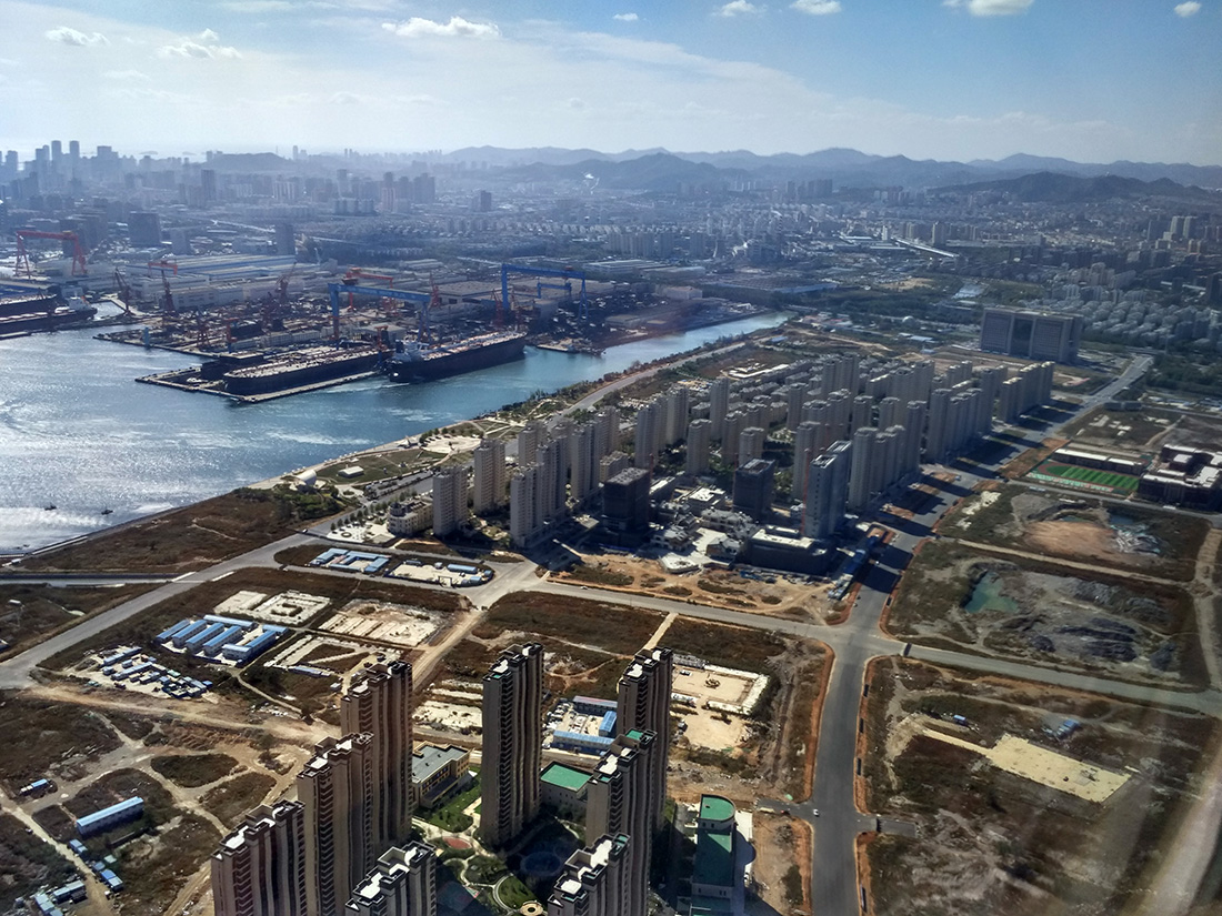
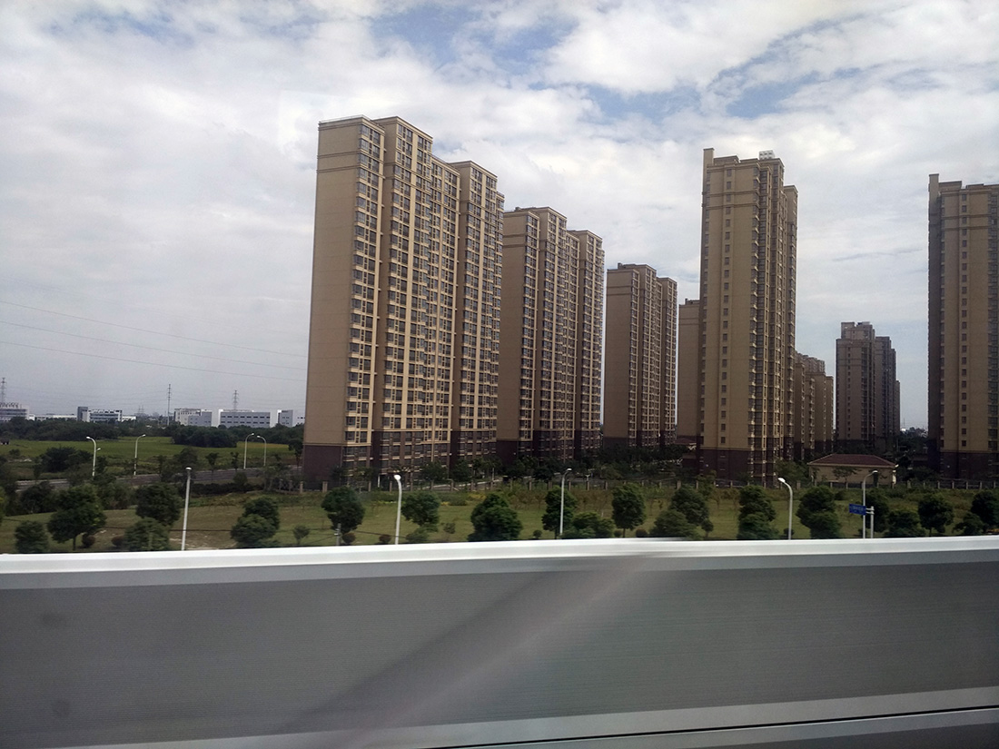
I have just seen the section on the Guardian called “The Other China”, dedicated to the “huge but often unreported cities on the frontline of China’s urbanization”. It is a welcome occasion to finish a post that I had in the pipeline since my 4,000-kilometre train journey through China in October 2016.
As written about several times on this blog, my current doctoral research focuses on Tokyo’s postwar economic history. I want to establish space as an independent variable in understanding economic outcomes.
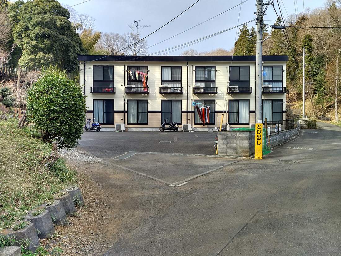
House in Higashiyamato
Some reading notes from a recent urban studies classic as well as thoughts on density (again!) and environmental sustainability below the jump!
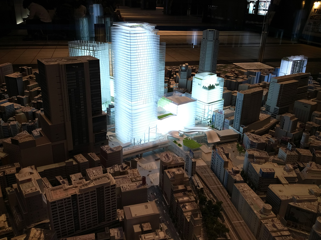
Shibuya redevelopment model, Hikari Building, Tokyo
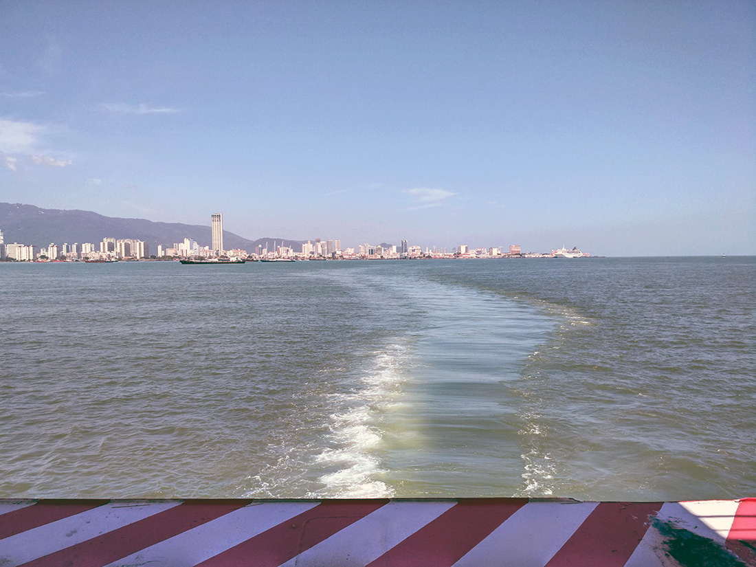
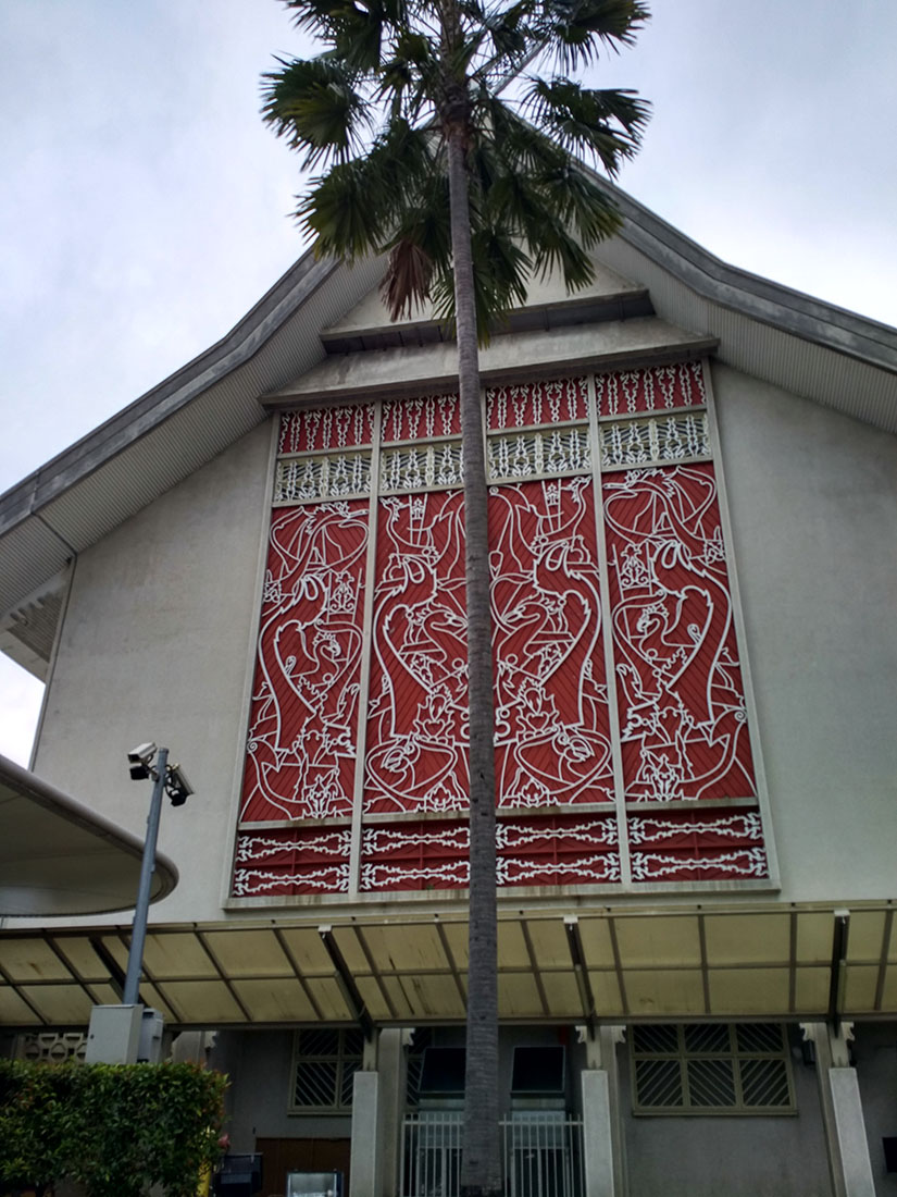
I had the chance to visit Penang for the first time last week. What a fantastic city. I rode the bike a lot and probably had my best Chinese meal ever. I definitely want to come back for more.
I stumbled upon an interesting blog post on Market Urbanism from a few years ago that talks about Tokyo’s surprising lack of density. I would disagree somewhat with that statement. More below the jump.
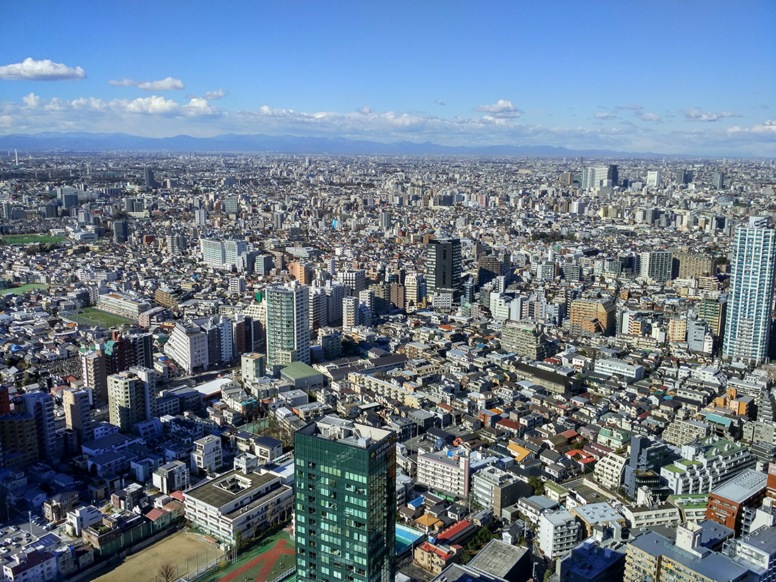
Tokyo towards the West as seen from Shinjuku
In his Building Merdeka: Independence Architecture in Kuala Lumpur 1957-1963, Lai Chee Kien introduces the reader to the architecture of this period. Contrary to many other newly-independent nations, it was mainly local architects that reconciled modernism with a distinct indigenous architectural style.