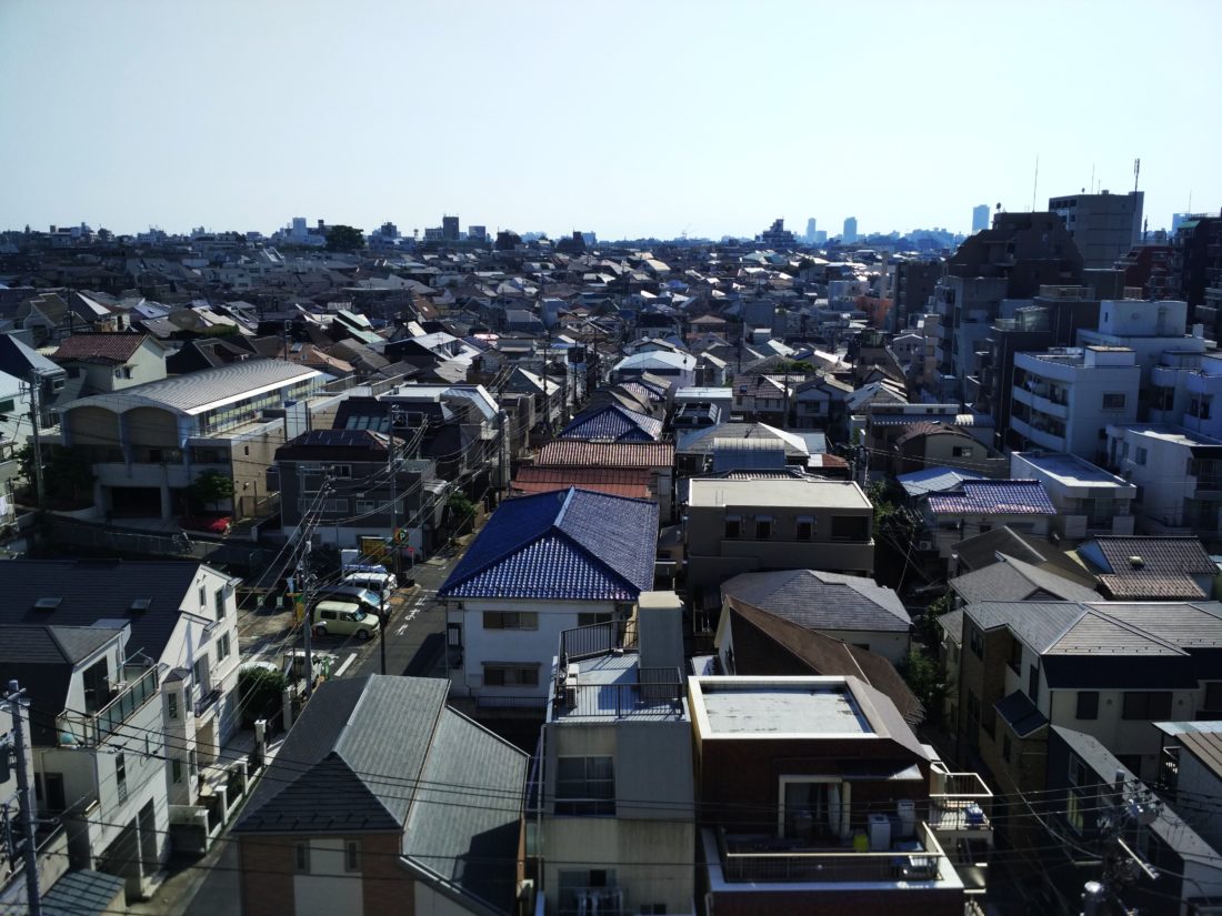
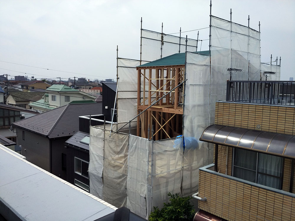
I have been teaching at Temple University’s Japan campus for more than a year now and still haven’t written anything on this blog here to reflect on this amazing experience. This shall now change with some thoughts on the most recent course I teach called “Metropolitan Tokyo”.
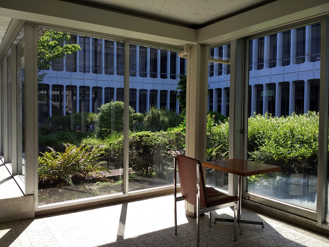
TUJ’s Azabu Campus